
The history of the Welsh Marches – an area on the England Wales border – is one of violent struggle, bloody battles and near constant conflict. It’s also an history of market towns and trade between two very different peoples: the English and Welsh.
This is a brief history of this area – one of the prettiest in the UK, but relatively untouched by tourism.
What and Where are the Welsh Marches?

Look at a map of the border between England and Wales and you’ll see that the Welsh Marches are not a single neat block of territory. They are a long borderland zone running roughly from the Dee area in the north down towards the Wye and Severn valleys in the south.
Today the term is usually applied to the English counties along the frontier – particularly Herefordshire and Shropshire, with parts of Gloucestershire often included – and it overlaps naturally with neighbouring Welsh border areas. The word marches simply means borderlands. For much of history, that is exactly what this region was: a place where authority was tested, boundaries shifted, and local life was shaped by being close to a frontier.
A Frontier Older Than England And Wales As We Know Them
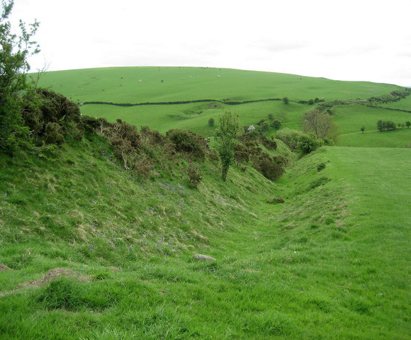
The Marches did not begin with a single event. Long before the Norman Conquest, western Mercia faced a series of Welsh kingdoms and smaller territories. The border was not a fixed line. It moved with political strength, alliances, and the practical realities of geography. Valleys and river crossings mattered as much as decisions made by kings.
One of the earliest and most visible reminders of frontier thinking is Offa’s Dyke, the great earthwork traditionally linked to Offa of Mercia in the 8th century. It does not run perfectly along the modern boundary and it is not continuous, but it shows that early rulers were already trying to mark and manage the western edge of their power.
The Norman Conquest And The Marcher Lords
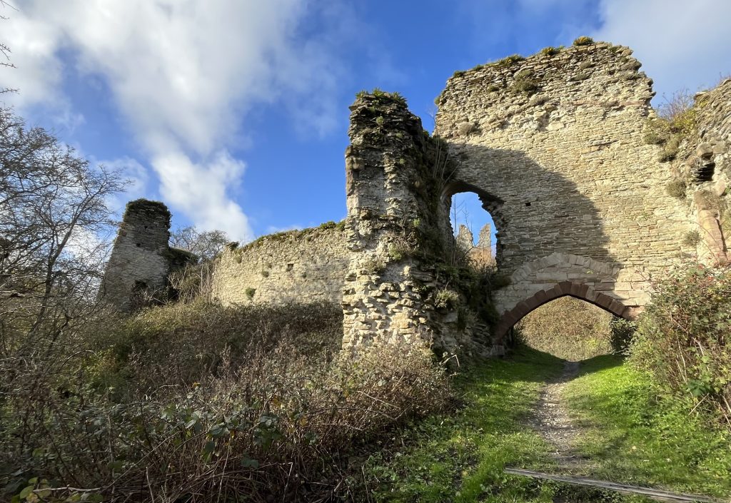
The Welsh Marches became a distinct political zone after 1066. Norman kings quickly learned that Wales could not be controlled in quite the same way as the English shires. The terrain was harder, Welsh political organisation differed, and the frontier was vulnerable to raids and counter-raids.
Over time, a particular arrangement developed: powerful nobles were granted lands along the border with unusually wide freedoms to secure the region and, in some cases, expand into Wales.
These nobles became known as Marcher Lords. Within their lordships they could build castles (like Wigmore Castle and Goodrich Castle), found towns, hold courts, and raise forces with a degree of autonomy that was unusual elsewhere in England.
The system suited the crown because it delegated the daily burden of frontier control. It also suited ambitious nobles, because the border offered opportunities for land, wealth, and influence.
This is one reason the Marches have so many castles. Fortifications were not simply military posts; they were administrative centres and statements of authority. They guarded crossings, controlled roads, and anchored settlement. Many began as earth-and-timber works and were later rebuilt in stone, which is why the region contains everything from low mounds to substantial ruins and later castle-houses.